top of page


PERSPECTIVE IS EVERYTHING
01
SERVICES

Full suite of software tools to create, edit and produce beautiful media for your needs.


ABOUT
02
ABOUT
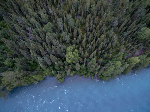
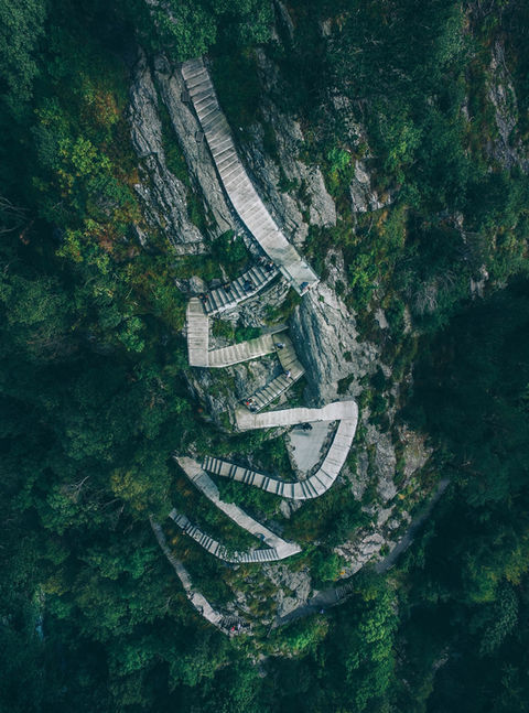
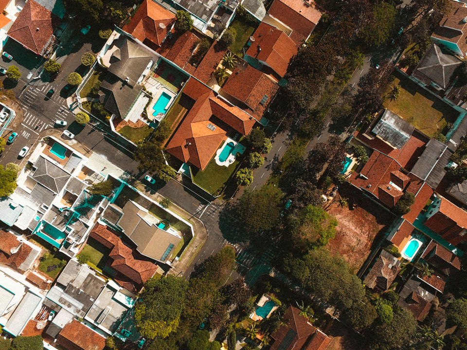
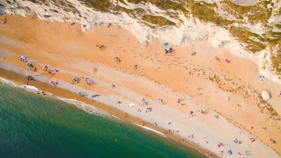
WE TAKE PICTURES FROM ABOVE
NEW PHOTOGRAPHY OPPORTUNITIES USING DRONES
Aerial Photography has been forever changed with the introduction of Small Unmanned Aerial System (SUAS). Until recently, much of this technology was reserved for the military and government agencies. Now that it has become common place, the Federal Aviation Administration (FAA) has put strict rules on the usage of drones for hobbyist and commercial pilots alike. Low Altitude Authorization and Notification Capability (LAANC) has become a requirement while operating SUAS in controlled airspace and the Part 107 certification process has been instilled to include annual recertification processes.
bottom of page


